Rivers may have once criss-crossed the Sahara, say scientists
Loading...
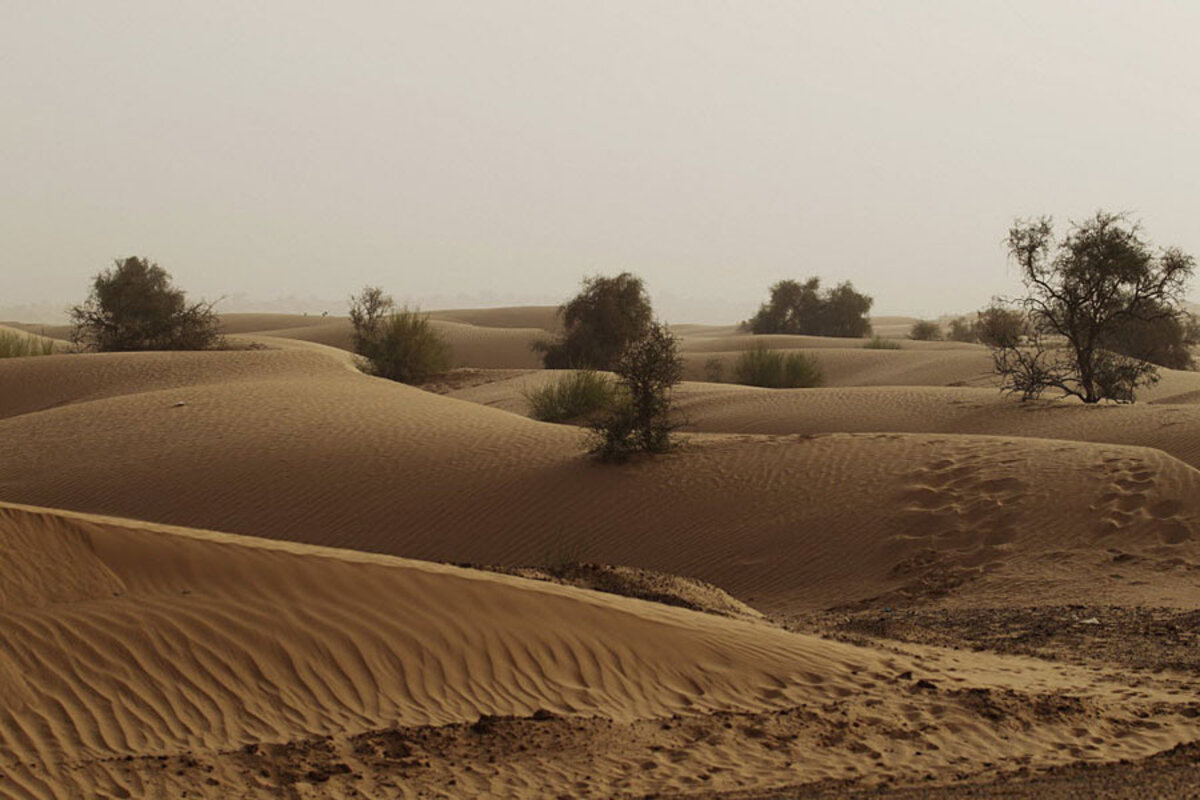
Today, the Sahara is thousands of miles of hot, dry sand stretching across northern Africa. But it hasn’t always been that way.
Thousands of years ago, a vast river system flowed through the western Sahara.��
Researchers found markers of buried beneath the sand dunes, according to a new study published Tuesday in the journal Nature Communications.��
had found evidence of such a river network in marine sediment. Rocks and other materials characteristic of a riverbed had been deposited on the oceanic coast, just as a river delta would push its contents into the sea.��
Researchers had also in the continental shelf off the coast of western Africa. Dubbed Cap Timiris Canyon, the underwater corridor also suggested the past existence of a river system in the western Sahara.
But the origins of those sediments and the river that fed the channel had yet to be mapped. Using orbital radar satellite imagery, Charlotte Skonieczny of the L'Institut Français de Recherche pour l'Exploitation de la Mer and her colleagues looked beneath today’s bone-dry, sandy desert to geological features beneath. These ancient features helped them map a river system some 320 miles long that lines up perfectly with the sediments and underwater canyon.
“In this paper, based on remote-sensing data, we identify the presence of a large paleodrainage network on the arid Mauritanian coast, shallowly buried at present under aeolian sediments,” Dr.��Skonieczny and her colleagues write. “Combined with other geomorpholgical and sedimentary lines of evidence available in the literature, our findings suggest that a major river system was indeed reactivated during some of the humid periods of the last 245 kyrs, thus likely contributing to the delivery of sediments to the Tropical Atlantic margin at those times.”
Starting some 245,000 years ago, a series of humid periods began. During these periods, rainfall shifted over the western Sahara, making the region wetter. That extra rain likely pooled in Mauritania and Algeria before spilling down rivers to the Mauritanian coast and into the ocean.��
"At that time," write the researchers in an email to ���Ǵ���, "equatorial lakes reached their highest level and the present-day Saharan desert was the location of extensive vegetation, animal life and human settlements."
The Sahara's climate shift was driven by subtle variations in the Earth's orbit around the sun, the researchers say. That such a drastic shift could arise from such minute variations in sunlight is "Yet another reminder," the researchers write, "in the context of the growing greenhouse gases emissions (another external forcing), of how sensitive the climate system is."
Researchers have often looked for evidence of ancient rivers across the Sahara desert in the hopes of mapping humans’ trek out of Africa.��
Scientists puzzled over how humans migrated from Central Africa to the Middle East, Europe, and Asia with a massive arid desert in their way. It would have been inhospitable, or so they thought.��
A study published in 2013 mapped up through what is present-day Libya. Those rivers likely would have created some more lush places for the ancient humans.
These findings could help modern-day humans find water. "This large paleo-river system is likely to be related to large amount of fossil water resources in shallow aquifers located where the channels were mapped," the authors write in their email. "This gives then some interesting geographical information on where to drill for finding some new water resources in desert regions."


